Discover Wild Quebec
Find the best free camping spots and outdoor activities on Quebec public lands
Explore Map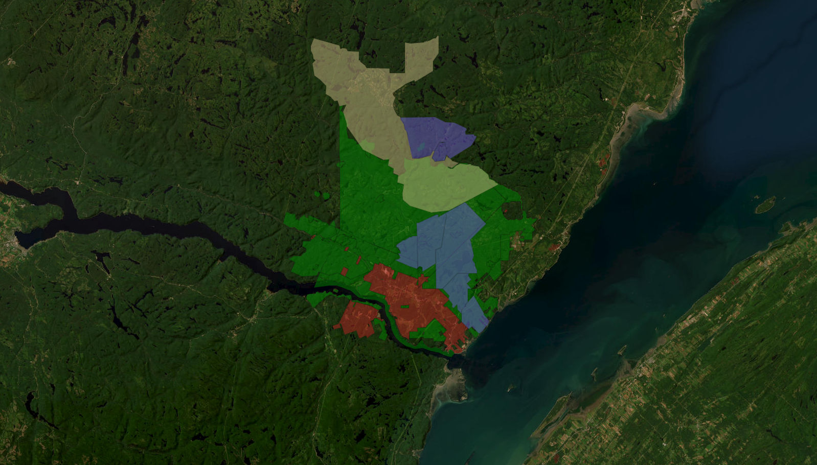
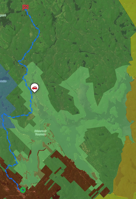
Plan Your Next Road Trip
The Itinerary Planner lets you draw any route on the map, split it into segments, and instantly generate offline-ready geo-referenced PDF maps for every leg of your journey.
- Interactive route drawing — freehand or follow roads
- Geo-referenced PDF map for every segment
- Save & revisit your itineraries anytime
- Works offline in the backcountry
Subscriber-only feature — See plans
Download PDF
Generate geo-referenced PDF maps with your selected areas and custom markers for offline use.
Get unlimited downloads, private markers, ad-free experience and more with a subscription.
- Unlimited map downloads
- Private markers
- GPX/KML export
- No ads
- Cancel anytime
Free Camping
Discover hundreds of free camping locations on Quebec public lands
Outdoor Activities
Hiking, hunting, fishing, ATV trails and much more on crown land
Quebec Public Lands
Quebec's public lands cover more than 90% of the province — over 1.5 million km² of boreal forest, wetlands, rivers and lakes open to the public for camping, hunting, fishing and outdoor exploration. The territory is divided into ZECs (Zones d'exploitation contrôlée), wildlife reserves, provincial and national parks, and vast expanses of unrestricted crown land accessible at no cost. Unlike many other provinces, much of Quebec's crown land allows free camping with minimal restrictions, making it one of Canada's premier destinations for wilderness travel and self-supported adventure.
About →